
Aerial Imagery
|
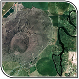
Aerial imagery consists of photographs of natural and cultural features at the land surface taken from an elevated position. Statewide spatial resolution of aerial photographs is typically one meter. [Read more] Ortho-Rectified Aerial Photograph Sources:
Applications: cartography, land-use planning, environmental assessment, archaeology, property/real estate analysis, engineering and telecommunications applications |
|